
Agnostic Modular Payloads for Multi-INT Collection
Project # 23-087 | Year 2 of 2
Andrew Daviesa, Cameron Priesta, Rusty Trainhama, Edward Bravob, Roy Abbotta, Rod Stabilea, Jeremy Brookleya, Hovig Yaralianc
aSpecial Technologies Lab (STL), bRemoting Sensing Lab-Nellis (RSLN), cAlbers Aerospace
This work was done by Mission Support and Test Services, LLC, under Contract No. DE-NA0003624 with the U.S. Department of Energy, the NNSA Office of Defense Programs, and supported by the Site-Directed Research and Development Program. DOE/NV/03624–1916.
Abstract
In this second year of the project, we leveraged the unmanned aerial system (UAS) payload developed in the first year and advanced capabilities forward by researching and incorporating situational awareness techniques and edge processing. Two aspects of situational awareness are addressed: ability to collect and appropriately analyze data based on knowledge of location, and sensor algorithm improvements through awareness of surrounding landscape and structures. In the second year, we improved prior work by integrating edge processing capability that can be applied to radiation detection, chemical plume mapping, and radiofrequency (RF) localization.
Background
There is a significant amount of research worldwide on autonomous platforms, including autonomous air vehicles that navigate while recognizing and avoiding obstacles and people. While clearly a necessary foundation for autonomous systems, there is still much work needed to autonomously perform sensor missions. Simultaneous localization and mapping (SLAM) techniques combined with in-flight sensor data can enable more sophisticated missions and will be a revolutionary advancement in autonomous systems and sensing. This project is a step toward that goal by developing a research platform that can be a starting point for future advances.
Technical Approach
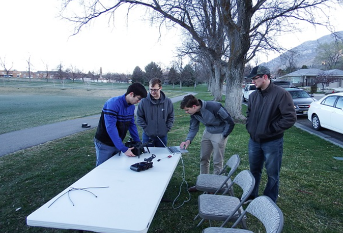
We leveraged the integrated sensor payload from the first year, which included a visual camera, point LiDAR system, inertial measurement unit, GPS, long-range data transceiver, and a radiation detector. Firmware development and integration with a single-board computer and communication protocols were the focus of the second year. The baseline sensor system can operate as a datalogger and fly along a pre-determined path. A human operator can analyze data after a mission, or receive key data during the mission, for example a radiation sensor “alarm.” We incorporated the ability to use measurements of self-motion, surrounding terrain, structures, or moving objects to influence decision-making on the significance of collected data, by putting two edge computing resources on board. Several different mission scenarios were considered including radiation detection, radiofrequency collection, and chemical plume detection. Our project plan used go/no-go decision points for each stage and we decided to focus on radiation detection for the primary system.
In the radiation detection context, data recorded as a function of time from a moving detector will vary in a characteristic way that depends on the distance and relative velocity between source and detector. Additional effects are caused by attenuating material between source and detector, as well as geometric effects of a point versus distributed source. This is a prime scenario for sensor awareness of self-motion and surrounding terrain/structure characteristics to be incorporated into detector alarm algorithms. Experts in this area are the Aerial Measurement System program, who operate state-of-the-art systems using location together with sensor readings. For this Site-Directed Research and Development (SDRD) project, radiation detection is simply one measurement application, and our primary goal was a platform for autonomous location-aware capability advancement.
Results and Technical Accomplishments
The Nevada National Security Sites (NNSS) team is very experienced in collection modalities and has demonstrated many airborne sensor or air sampling capabilities, but never with location-aware data collection and processing capability at the edge for autonomous airborne sensing. We developed relationships with industry and university collaborators that enhance our capability to respond in this subject area and to address future challenges. We developed our junior staff by assigning them the majority of this work in consultation with more experienced engineers and scientists. We also had participation of multiple interns and student Capstone teams on this project, which has grown our technical talent pipeline.
Conclusions and Path Forward
The NNSS now has a flexible development platform in the form of a sensor pod with the capability to host onboard analysis algorithms. The situational awareness sensors can be used to either guide a collection strategy or as part of the sensor data analysis. This project did not produce a specifically tailored solution but was focused on flexibility. This positions us well for future programmatic work should the need arise.
Back to Enabling Technologies for Autonomous Systems and Sensing