
Agnostic Modular Payloads for Multi-INT Collection
Project #: 22-114 | Year 1 of 2
Andrew Davies,a Rusty Trainham,a Cameron Priest,a Manuel Manard,a Edward Bravo,b Roy Abbott,a Anamaria Basave,a Luke Borders,a Deanna Koppenjana
aSpecial Technologies Laboratory; bRemote Sensing Laboratory- Nellis
Executive Summary
This project explores the use of airborne payloads to collect multiple types of data to address detection missions or unique operational scenarios involving unmanned systems. We designed and built a system that includes edge-processing capability to host and run algorithms onboard rather than sending data over the air and processing offline. Edge processing algorithms will be implemented in the following year.
Description
Our work is focused on developing skills and capabilities in the Unmanned Aircraft System (UAS) domain, with an emphasis on payload research involving multiple sensor types that can be combined in an analysis step for higher-confidence measurements. We explicitly excluded development of completely new aerial platforms in order to keep the project scoped to payloads and modified commercial off-the-shelf aerial systems.
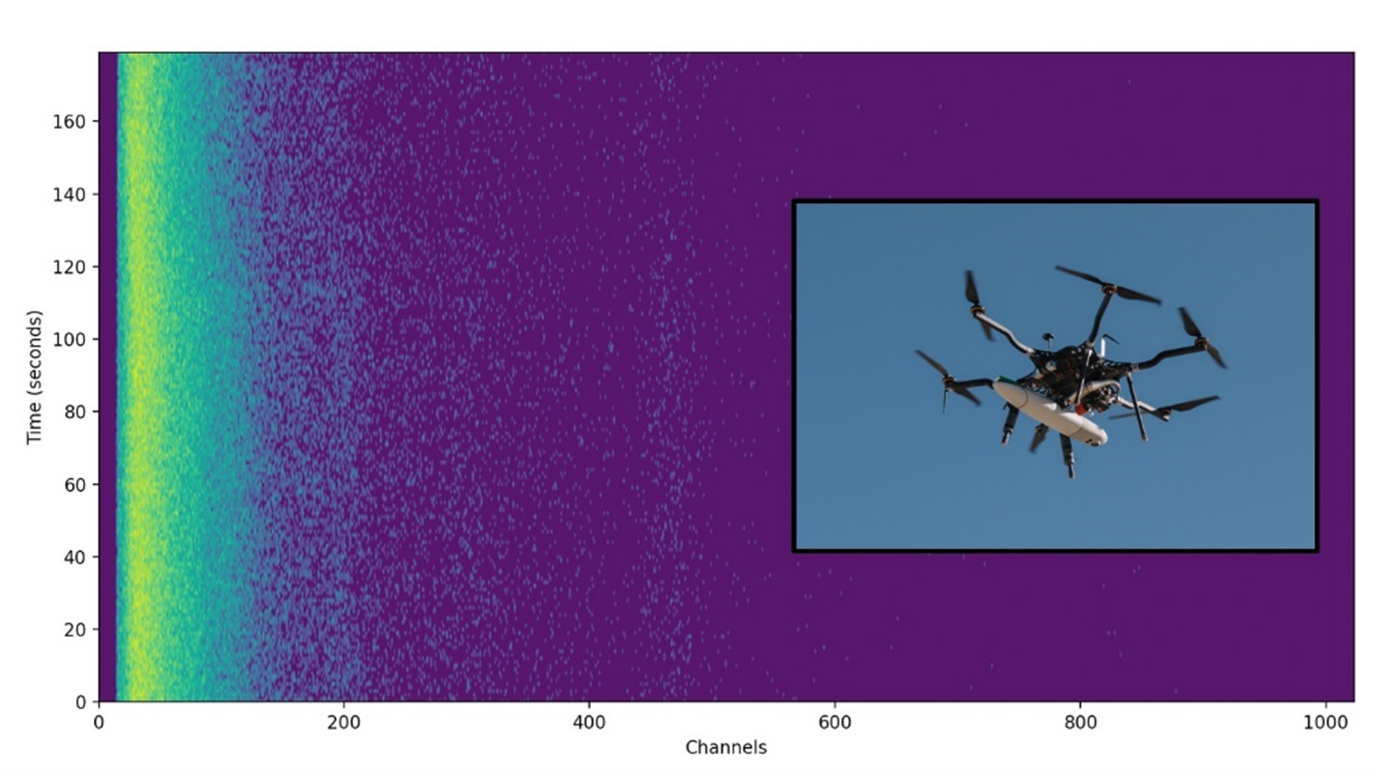
This year, multiple sensors (camera, LIDAR, radiation detector, inertial measurement unit) were integrated together with computing and communication hardware into a turn-key flight pod that was flown by a subcontracted hexcopter UAS. Subcontracting a platform simulated an external user taking delivery of our payload to perform a mission. A fairly heavy radiation detector, a 6″ long by 3″ diameter cylinder, was used in this first flight test. An advantage of our architecture is the ability to easily swap to a smaller detector if needed, as the software is written in a modular fashion. This applies to each of the sensors in turn, which we envision is an efficient way to be able to quickly design a payload to accomplish a particular mission.
In addition to the new sensor pod flight, there was a scenario demonstration and a successful Capstone project. We showcased multi-platform teaming in a demonstration of an aerial deployment of a quadcopter that communicated back to the operators via an airborne relay platform. The Capstone team at Brigham Young University also developed a stand-alone payload that measured WiFi signal strength to produce a heat map of a particular area.
Our next phase will implement edge processing and demonstrate a combined sensor scenario. Sensor data may be processed by a single-board computer, or a system that includes GPUs for enhanced performance of certain processing tasks. Video processing together with sensor data and situational awareness may provide enhanced detection performance when seeking to localize a signal source, whether it is radiation, radiofrequency, or other measured data.
Conclusion
A mission scenario was successfully demonstrated in early FY 2022 at the Naval Postgraduate School’s Joint Interagency Field Experimentation event, whereby a small quadcopter was deployed by a larger hexcopter in mid-air after being carried beyond visual line of sight. The larger platform also served to receive and relay sensor data back to the operators as the smaller UAS flew down closer to the ground to perform a chemical sensing mission several miles from base.
Payload development for the remainder of the year produced a new sensor architecture to incorporate multiple sensors and computing platforms, battery power, and communications into a user-friendly package that enables data collection for algorithm development. This payload was flown in late FY 2022 and collected some initial data that will be used to further develop algorithms to autonomously process input from multiple data sources and improve performance compared to a single sensor modality.
Mission Benefit
The aerial domain is a significant growth area for public and private sector investment and capability development. This project is an important step for the NNSS enterprise to engage with autonomous sensors and systems useful in a variety of mission scenarios. Much of the work was performed by a team consisting of senior and junior staff, accomplishing knowledge transfer and improving capabilities. As part of the Enabling Technologies for Autonomous Systems and Sensors thrust area, we believe this architecture will serve as a development platform for future research and development in this field.
This work was done by Mission Support and Test Services, LLC, under Contract No. DE-NA0003624 with the U.S. Department of Energy. DOE/NV/03624–1618.
Return to Enabling Technologies for Autonomous Systems and Sensing
Go to SDRD Annual Report Index
Return to SDRD Homepage